Register Today
GIS Day is an annual event for students, staff, faculty, and the broader community to learn more about geographic information systems (GIS) and to celebrate the power of geospatial data, methods, and technologies for answering research questions and solving real-world problems.
Join us during the week of November 15-19 for a virtual program featuring a keynote presentation, lightning talk sessions, and a digital map gallery. This event is free and open to the public, and you can register now using the following link:
https://osu.zoom.us/webinar/register/WN_hYzuLPzMRaWePyxLIt3ctw
Event Details
We are excited to bring you a virtual 3C GIS Day(s) program that will feature many interesting presentations and a digital map gallery that you can browse throughout the week!
- Browse our event schedule to see what we have planned for each day between November 15-19.
- Learn more about our keynote speaker and presentation topic: The Case for An Earth Archive.
- View presentation titles and speaker information for the three lightning talk sessions happening throughout the week.
- Visit our digital map gallery, and cast your vote for the People's Choice prizes!
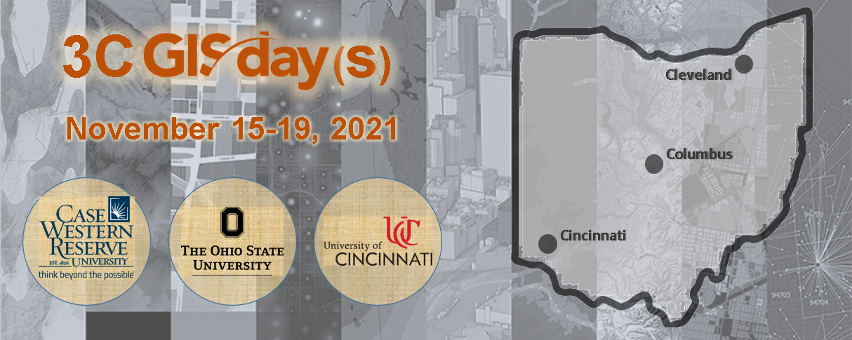
3C GIS Day(s) 2021 is a collaboration between Case Western Reserve University, The Ohio State University, and the University of Cincinnati. If you have questions about this program, please contact geospatial@osu.edu.
All of the presentation sessions for this program will include live captioning. Funding for live captioning was generously provided by the UC Office of the Provost Universal Provider Grant for the Data and Computational Science Series, and logistical support was provided by The Ohio State University Libraries.
Planning Committee
The 3C GIS Day(s) 2021 planning committee includes organizers from the following institutions and departments:
- Kelvin Smith Library, Case Western Reserve University
- Center for Urban and Regional Analysis, The Ohio State University
- CFAES Knowledge Exchange, The Ohio State University
- Department of Geography, The Ohio State University
- Facilities Information and Technology Services, The Ohio State University
- University Libraries, The Ohio State University
- Department of Geography and GIS, University of Cincinnati
- UC Libraries, University of Cincinnati